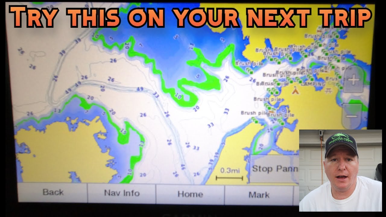
How to Fish Oklahoma Brush Piles and Fish Attractors
Finding a fish-attractor waypoint is only the first step. The pin tells you where to begin looking; sonar, lake conditions, and a careful presentation help you decide whether fish are using the structure today. Here’s a practical approach for fishing Oklahoma brush piles and other attractors without treating a coordinate as a guarantee.
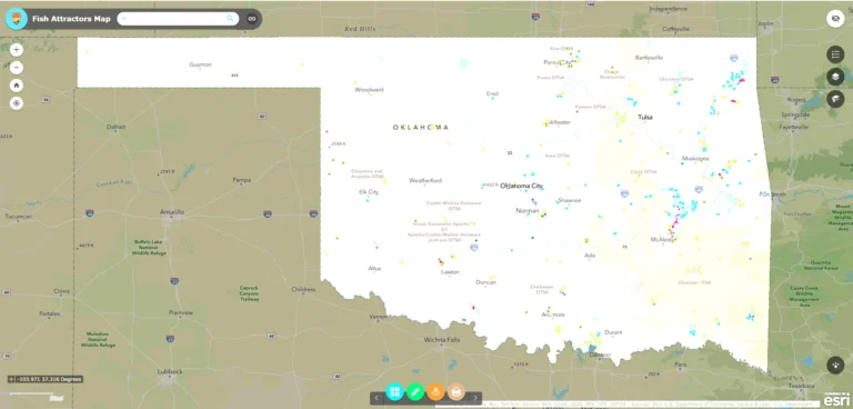
Need the locations first? Sign up to get the downloadable Oklahoma fish-habitat list. For help reading the map and waypoint details, see our ODWC Fish Attractors Map guide.
Start with the conditions, then choose a waypoint
Before heading to a pin, consider the season, water temperature, recent weather, water level, wind, and the species you want to catch. Use a lake guide or your own recent observations to narrow the search to a likely depth and area. A cluster of nearby waypoints can give you options, but pick a small group rather than trying to cover the whole lake.
The statewide habitat file contains 1,685 records across 166 lake names. Most are listed as brush piles, with other entries including spider blocks, PVC structures, pallets, gravel, tire reefs, and combinations. The records span many years, and some depth or date fields are blank or incomplete. Use the list as a starting point, not a promise that a site is still intact, accessible, or holding fish.
Scan before you fish
Approach the coordinate slowly and watch your depth, chart, and surroundings. Once you are near the pin, make a controlled pass around it with sonar. Look for the cover itself, changes in bottom contour, bait, and fish near or above the structure. The waypoint may be approximate, and the recorded depth may not match today’s water level.
If you do not see the cover immediately, widen your search in short, deliberate passes. Recheck the coordinate format, current lake level, and your chart orientation. A pin can be close while the structure sits off to one side, and brush can blend into surrounding cover on some sonar views.
Make your first cast count
Start at the outside edge of a brush pile or other cover. This helps you learn its shape and reduces the chance of burying a lure in branches on the first cast. Keep your boat position and casting angle in mind: wind, current, and sun angle can change how well you can present a bait and control your line.
- Fish the edges first: cast past or alongside the cover and work a bait across the outside before probing deeper.
- Try more than one angle: reposition safely so your lure approaches the structure from a different direction.
- Match your presentation to the fish: if sonar shows fish suspended above cover, keep your bait at their level; if fish are tight to the bottom or branches, use a controlled presentation that lets you feel contact.
- Change one thing at a time: adjust depth, angle, or retrieve speed so you can tell what changed the result.
Brush and woody cover can snag hooks and line. Use tackle you can manage around cover, avoid forcing a lure through branches, and keep a safe distance from stumps, docks, and other hazards. If the site is crowded or the boat position feels unsafe, move on and return from another angle.
Fish the type of cover you actually find
Brush piles and trees create irregular woody cover, so expect branches to extend beyond the coordinate. Artificial structures such as spider blocks or PVC may have a more compact profile, but their appearance depends on the design and what has collected around them. Use the file description as a clue, then let sonar show you what is there now.
When one waypoint looks empty, do not assume the whole area is unproductive. Check nearby depth changes, points, channel edges, or another attractor in the same area. Fish may be near the structure rather than inside it, or conditions may have moved them elsewhere.
Adjust as the day changes
Light, temperature, wind, current, and forage can change fish position and activity. Recheck the site if conditions shift. If fish are visible but do not respond, change your bait’s depth or speed, then try a different angle. If no fish or useful cover appears after a few careful passes, save the waypoint and keep fishing.
Keep simple notes about the date, water level, depth, cover you saw, fish activity, and what presentation worked. Over time, those observations will tell you more than the waypoint alone.
Get the locations and plan your next trip
Sign up here to receive the downloadable fish-habitat list. Choose one lake, check a handful of nearby sites, and use sonar to confirm each one before fishing it.
Location records can be old, and conditions, access, and water levels can change. Confirm current lake rules and access, respect private property and restricted areas, wear a life jacket, and navigate with the chart and conditions in front of you.